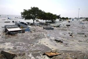
Scientists Warn That Massive Flooding and Tsunamis Could Hit 3 Major Regions in the U.S.
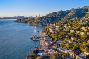
A startling new study from Virginia Tech reveals that Northern California, Oregon, and Washington face a far greater threat from tsunamis and catastrophic flooding than previously believed. Triggered by a potential mega-earthquake in the Cascadia subduction zone and amplified by rising sea levels, the risk zone could triple in size — putting over 22,000 structures, nearly 800 miles of roadway, and thousands of lives in jeopardy. Researchers urge communities to update disaster plans and tsunami maps, warning that without urgent preparation, the Pacific Northwest may be dangerously unprepared for a devastating natural disaster with a 15% chance of occurring in the next 50 years.
The new study, authored by researchers from Virginia Tech, states that thousands of people would be affected
NEED TO KNOW
- A new study from researchers at Virginia Tech warns that parts of Northern California, Oregon and Washington are at risk of serious flooding — and even tsunamis
- The study’s authors explain that an earthquake in the Cascadia subduction zone, along with rising sea levels, puts a greater area of land at tsunami and flood risk than previously thought
- The scientists hope their findings will encourage communities in the region to prepare for the potential effects of large-scale flooding
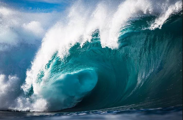
Parts of the Pacific Northwest in the United States are at an increased risk of massive flooding — and potentially even landslides and tsunamis — in the coming years, according to new research.
A study conducted by Virginia Tech researchers published in the Proceedings of the National Academy of Sciences says that an earthquake in the Cascadia subduction zone (CSZ) — which stretches from northern California to Vancouver Island, British Columbia — combined with rising sea levels could cause coastal land in Northern California, Oregon and Washington to sink up to 6.5 ft.
This would increase the amount of land at risk of flooding in the region from 35 square miles to 116 square miles and would impact thousands of people and properties, per the study.
The researchers additionally stressed that earthquake-driven land sinkage and climate-driven sea-level rise “need to be considered in tsunami inundation maps.”
They say that current tsunami inundation maps of the region — which show areas that would potentially be affected by an earthquake-caused tsunami — do not take rising sea levels into account, nor the “amplification effect it will have on future tsunamis.”
The Virginia Tech researchers came to their conclusions by generating tens of thousands of earthquake models to estimate the potential range of damage that can be expected from the next large Cascadia earthquake, per an article on the university’s website.
Because the timing of the next large earthquake cannot be known, the researchers created two versions of their models — one in which an earthquake in the CSZ struck today and another in which it struck 75 years from now in 2100, when “climate-driven sea-level rise will further amplify the impacts” of an earthquake.
The researchers estimate that if an earthquake were to happen today, an additional 14,350 residents, 22,500 structures and 777 miles of roadway would fall within the post-earthquake floodplain — which is more than double that of previous models, per Virginia Tech.
The study’s authors ultimately hope that these findings will motivate communities in the Pacific Northwest to prepare for these potential outcomes, especially because it has been estimated that there is a 15% chance that a magnitude eight earthquake or greater will occur in the CSZ within the next 50 years.
“Preparing for these compound hazards can minimize long-term damage, ensure resilient communities and protect critical coastal ecosystems from permanent degradation,” the researchers said in their study.